Geologic setting
The overthrust belt, less than 50 miles west of the Field Station, is characterized by thin-skinned tectonics. It bends sharply to the east and also extends through the north end of the Tobacco Root Mountains, where the northernmost zone of basement-cored (“thick-skinned”) upthrusts of the Wyoming Province is found. The Field Station is located within a few miles of the intersection of these two major structural styles. Consequently, a remarkable array of both small–and large–scale structures associated with the two major tectonic styles is available for study, together with a sampling of basin-and-range or block faulted structures.
The area exhibits a great variety of geological features in a nearly complete section of igneous, sedimentary, and metamorphic rocks that range in age from Precambrian to Pleistocene, and that are mildly to intensely deformed. The Field Station’s South Boulder location was originally chosen by Charles Deiss in 1948 because he felt that “the region offers more extensive and varied geologic phenomena than any area of equal size in the United States.”
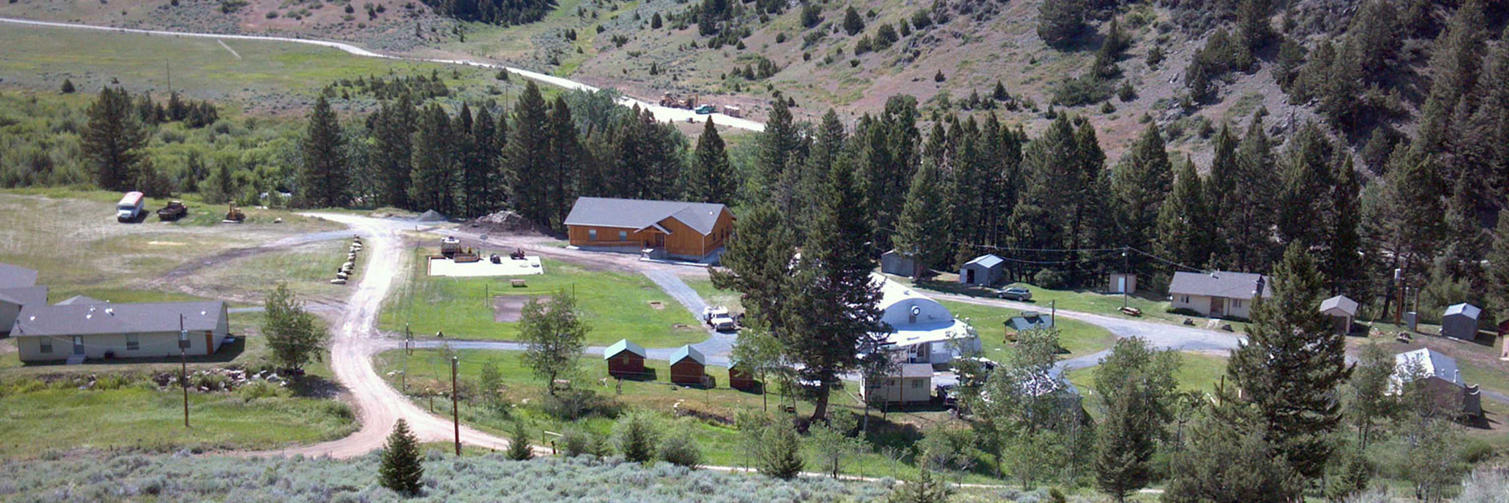
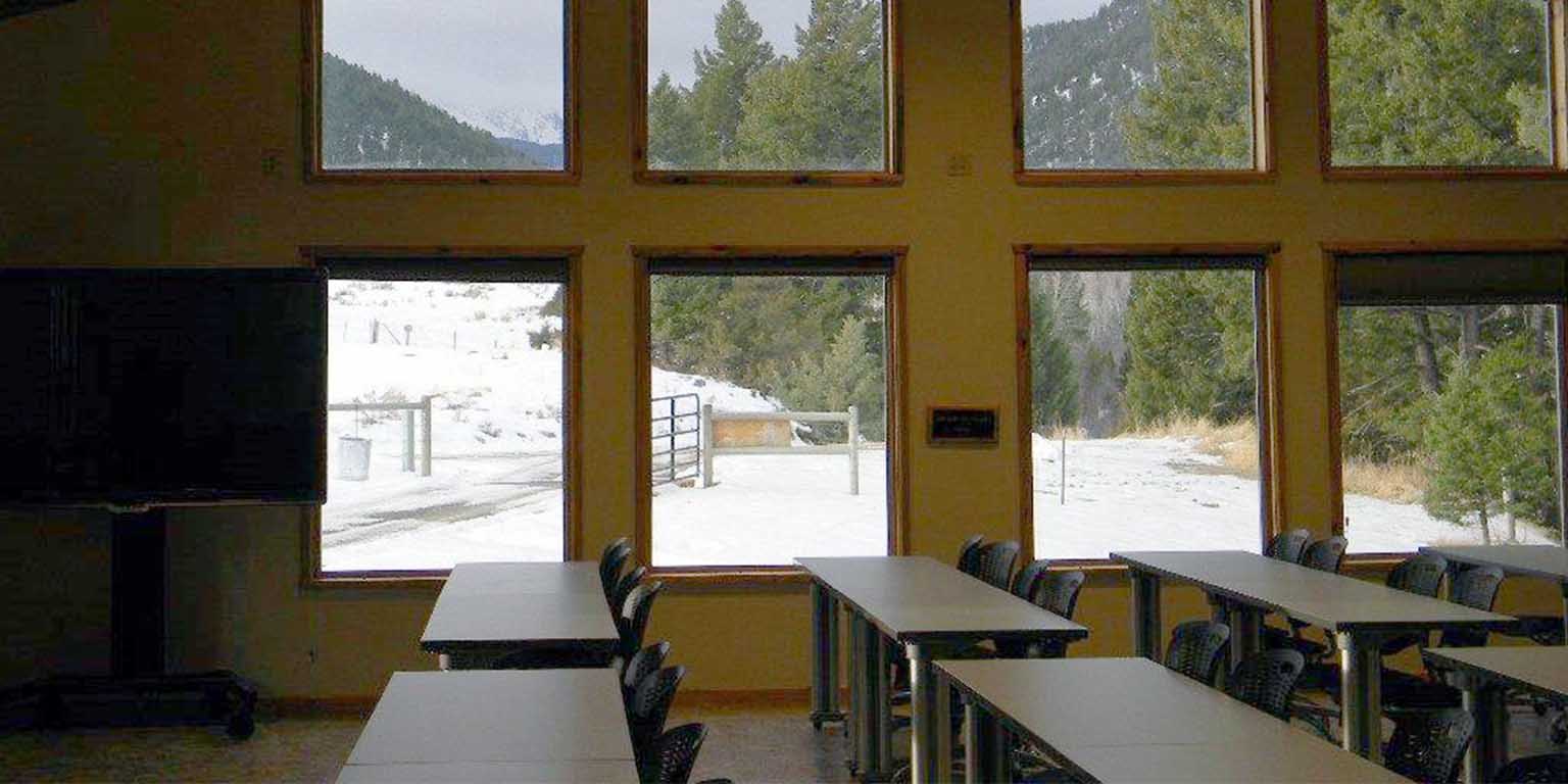
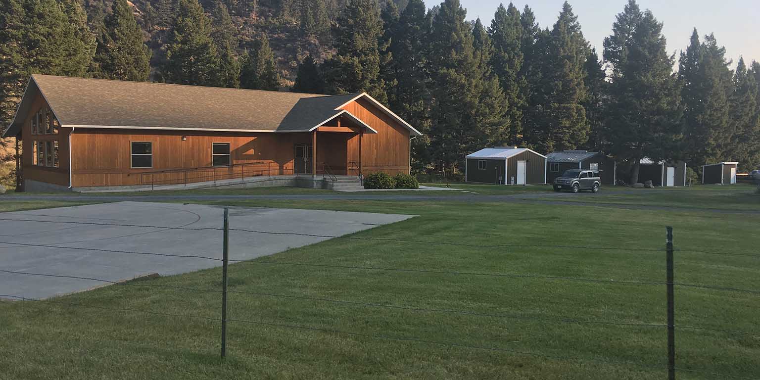
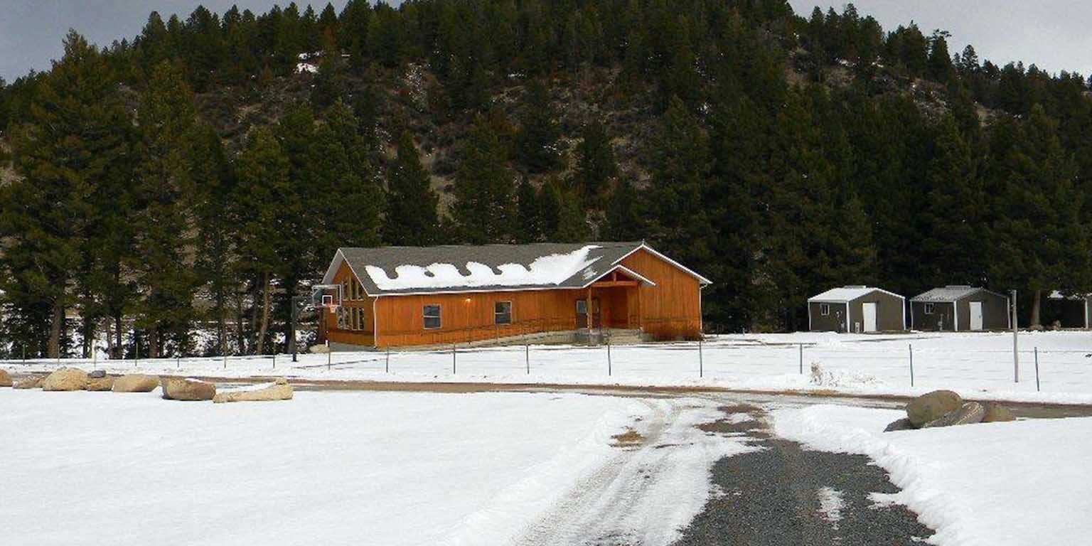
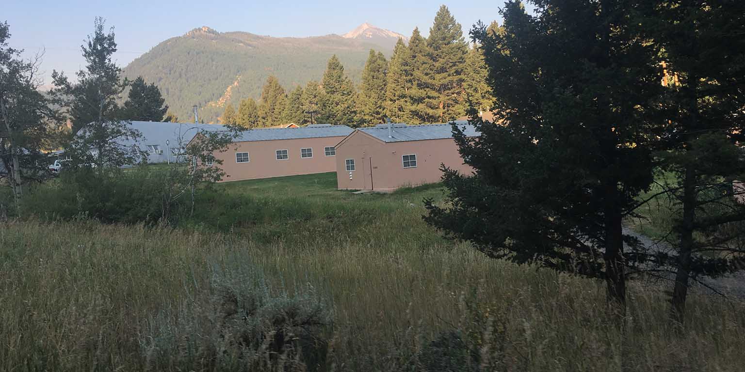
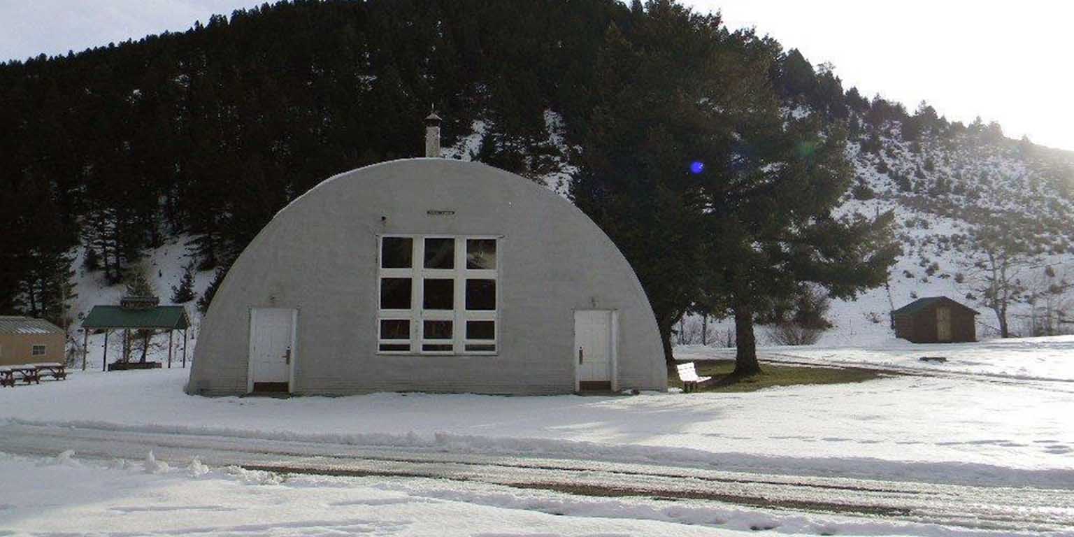
The park-like setting of the Field Station property itself lies at the confluence of Carmichael Creek with the South Boulder River. Both streams flow through parts of the 60 acres that constitute the Field Station. Most of the buildings sit upon a flat terrace of the South Boulder, about 80 feet above stream level. The Field Station is 5,280 feet above sea level.

 The College of Arts