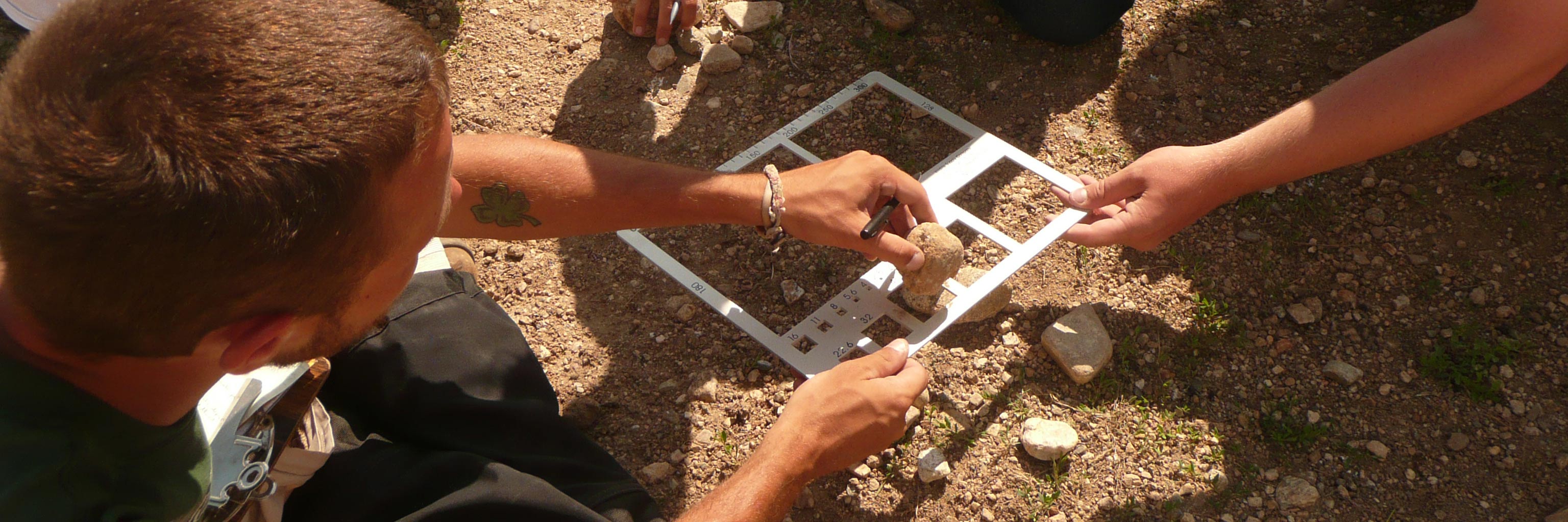
Your work at the IU Geologic Field Station will provide you with marketable skills critical to 21st-century careers.
Marketable Skills
- Geoscience thinking
- temporal and spatial thinking
- systems thinking
- geologic reasoning and synthesis
- asking appropriate questions
- understand context of problem
- problem solving in 3-D and 4-D
- ability to work on problems with no clear answers
- managing uncertainty in problem solving
- working by analogy, inference and the limits of certainty
- intellectually flexible - applying skills in new scenarios
- Technical skills
- data collection and interpretation, use of data and application
- evaluation of data, data quality, purpose of collecting data, begin with understanding of how data will answer question
- understanding data and uncertainties
- make predictions with limited data
- use of appropriate methods, reading and interpreting graphs
- probability and statistics (so understand risk)
- understanding of scale
- encourage critical thinking
- experience with authentic research, collection of new information
- Field + technology skills
- field camp and/or field mapping experiences
- improves spatial cognition, creative problem solving, teamwork, geoscience synthesis
- data support that field skills are unique and essential, difficult to replicate or substitute
- range of technologies (need skills and training beyond point, click, and type) - i.e. not just black box
- Non-technical skills
- science writing and verbal communication
- knowing your audience
- listening skills
- goal setting
- managing problems on the front end
- solution-oriented approaches
- time management: ethics, ethical awareness and conduct
- emotional literacy, learning styles, awareness of implicit bias
What employers want
Employers from a wide range of geoscience industries have identified the most sought-after job skills for applicants. Our courses help you gain these skills. Employers seek employees who can:
- think critically
- communicate effectively to scientists and non-scientists
- solve problems, especially those requiring spatial and temporal (i.e. 3D and 4D) interpretations
- make inferences about the Earth system from observations of the natural world combined with experimentation and modeling
- work with uncertainty, non-uniqueness, incompleteness, ambiguity, and indirect observations
- access and integrate information from different sources and continue to learn
- understand and use scientific research methods
- apply quantitative skills
- integrate data from different disciplines and apply systems thinking
- employ strong field skills and possess a working knowledge of GIS
- work in interdisciplinary teams and across cultures
- possess computational skills and can manage and analyze large datasets
- use technology and employ versatility in its use (i.e. Google Earth, tablets, smartphones, apps)

 The College of Arts