- Course Description
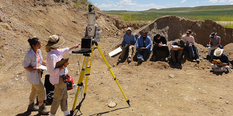
X429g/498g Digital Mapping Techniques utilizes Real Time Kinematic GNSS, structure-from-motion photogrammetry, and perspectives from drone imagery to interpret various geomorphic, sedimentological, and tectonic processes.
We collect and process data sets that can be used to help interpret a variety of different geologic problems. The course emphasizes learning about the instruments, how to best deploy them, selecting data acquisition parameters to solve the specific problem you are working on, efficient data processing, and interpretation. In addition, there is a significant focus on how to integrate traditional geological data and observations (e.g. sedimentology, stratigraphy, structural analysis, etc.) with these techniques.
Each year the team works on two or three different projects and solves different types of problems with high resolution data. We use data modeling techniques to evaluate the data and test hypotheses.
Digital Mapping Techniques
 The College of Arts