Paleozoic Stratigraphy
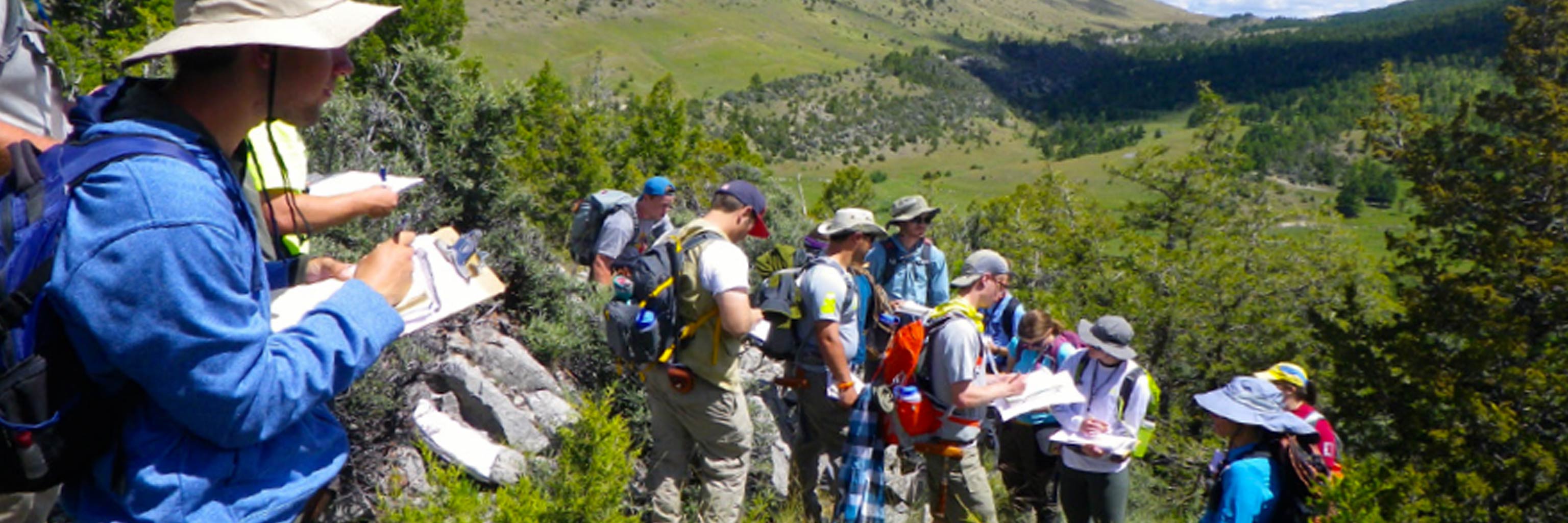
We focus on learning the stratigraphy of the carbonate dominated Paleozoic rocks in the IUGFS area. We look at and describe the stratigraphy in multiple locations, identifying what stratigraphic observations are common to each formation regardless of location. Emphasis is placed on interpretation of depositional environment and we discuss lithological variations that reflect paleogeography or changes in depositional facies. We also learn how to identify when a formation is anomalously thick or thin, how to use the scientific method to develop and test multiple working hypotheses about the potential causes for anomalous thicknesses, and how to choose the “most likely” solution that will you allow you to continue your fieldwork.


 The College of Arts