

Upper Paleozoic, Mesozoic and Cenozoic stratigraphy
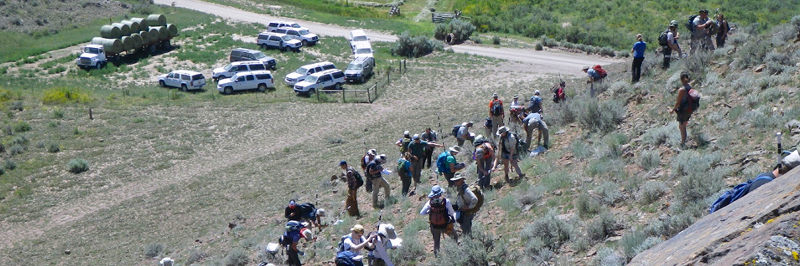
Monday and Tuesday are focused on the terrigenous clastic dominated Pennsylvanian through Cenozoic stratigraphy. It is similar to the previous week in that we start by looking at and describing the rocks in multiple locations, identifying stratigraphic observations that are common to each formation regardless of location plus variations that reflect changes in paleogeography or depositional facies. Again, emphasis is placed on depositional environment. We compare and contrast the Mesozoic stratigraphy with the carbonate dominated Paleozoic succession and discuss paleogeographic, tectonic, and paleoclimatic explanations for observed changes. We also describe and discuss the Cretaceous igneous rocks in the region. We interpret a Cenozoic extensional fault system along the North Boulder River, analyze sediments in the extensional Harrison Basin, and estimate present-day earthquake risks in Southwest Montana.

 The College of Arts